Author interview with Anthony Romilio
Last month we published “A multidisciplinary approach to digital mapping of dinosaurian tracksites in the Lower Cretaceous (Valanginian-Barremian) Broom Sandstone of the Dampier Peninsula, Western Australia” by Anthony Romilio, Jorg M. Hacker, Robert Zlot, George Poropat, Michael Bosse, Steven W. Salisbury.
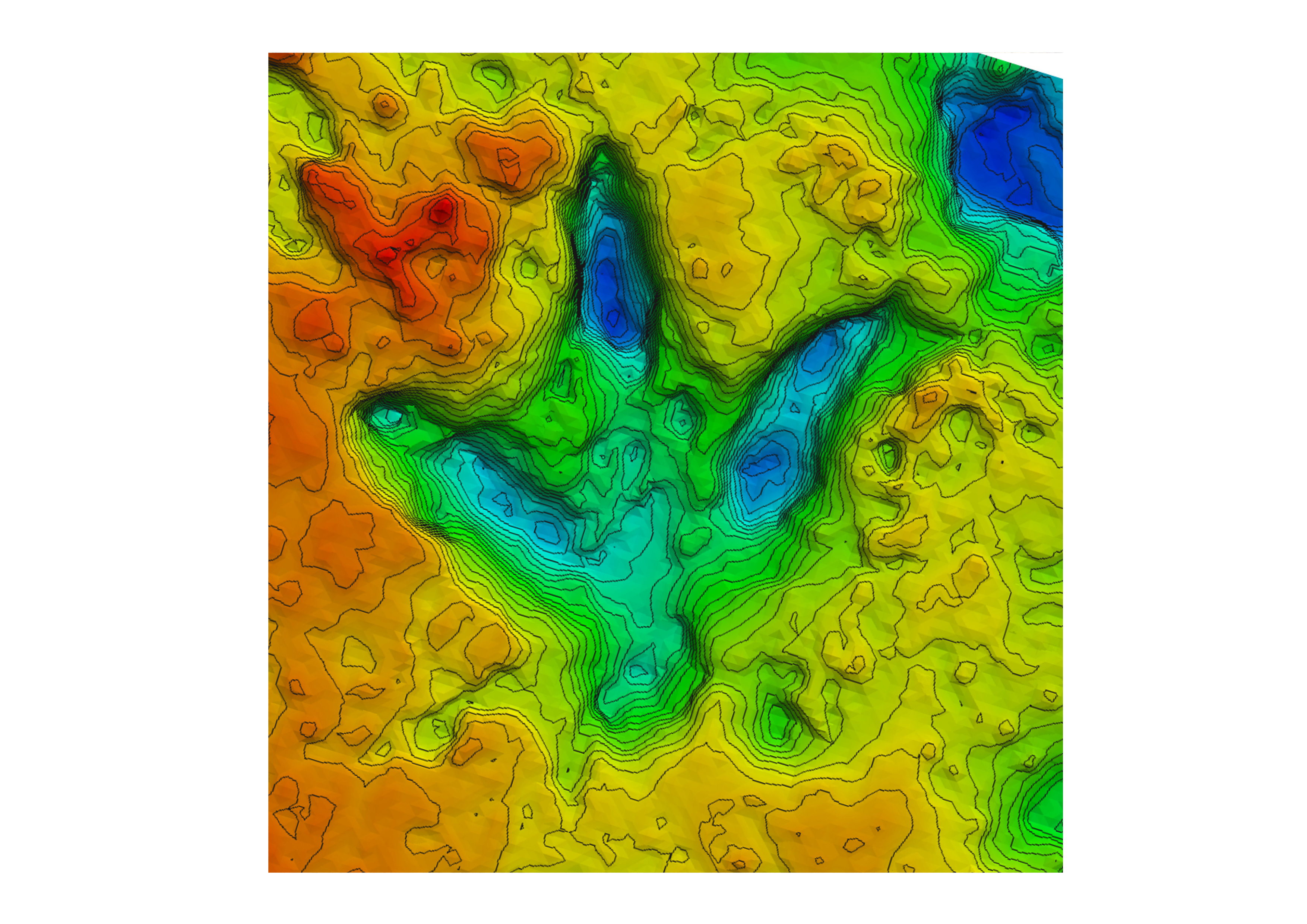
This study used a variety of remote sensing tools to document and digitally record 3D data on dinosaurian tracksites in the Dampier Peninsula, Western Australia. These methods, including high-resolution aerial photography from drones and manned aircraft, allowed the team to overcome previous documentation problems such as tracks in intertidal zones and the remoteness of sites, producing in-depth data from the millimetre to the kilometre scale.


